Kinmel Bay

Status: Sewer systems in this location are under maintenance and the water company has temporarily disabled real-time alerts.


The bay is located approximately 2 kilometres west of the River Clwyd, within a long sandy stretch of beach, which extends over 8 kilometres, from Kinmel Bay to Llanddulas. The beach has a large tidal range and is gently sloping from the low tide mark to the high tide pebbled area. The water quality sample point lies to the east of the Golden Sands Holiday Camp.


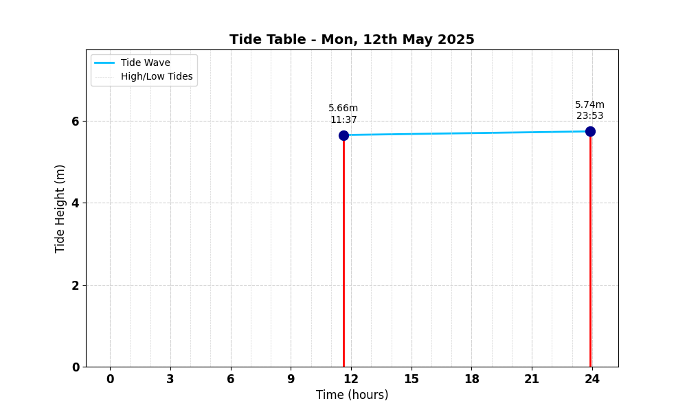
Tide Table for Kinmel Bay Tide Table

Map

Tide Times

Based on the tide information at Colwyn Bay 7.8 miles away

Mon, 12th May 2025

  • High Tide: at 11:38 (7.07m)
  • High Tide: at 23:54 (7.18m)

Tue, 13th May 2025

  • High Tide: at 12:11 (7.06m)
  • High Tide: at 00:25 (7.19m)

Wed, 14th May 2025

  • High Tide: at 12:43 (6.99m)
  • High Tide: at 00:57 (7.14m)

Weather Overview


Current Weather

Temperature: 🌤 15.0°C

Wind Speed: 6.8 km/h - 🌾 (Light Breeze)

Forecast for 13 May 2025

Max Temp: ☀️ 22.5°C

Min Temp: 🌤 11.8°C

🌅 Sunrise: 05:17

🌇 Sunset: 21:03

Precipitation: ☀️ No Rain 0.0 mm

Wind: 💨 Strong Breeze 20.9 km/h

Forecast for 14 May 2025

Max Temp: 🌤 19.5°C

Min Temp: 🌤 11.0°C

🌅 Sunrise: 05:15

🌇 Sunset: 21:05

Precipitation: ☀️ No Rain 0.0 mm

Wind: 💨 Strong Breeze 24.5 km/h


Data Sources and Organisations

Our project utilises data from the following organisations:

We extend our gratitude to these organisations for their valuable data to help ensuring safe swimming conditions.